
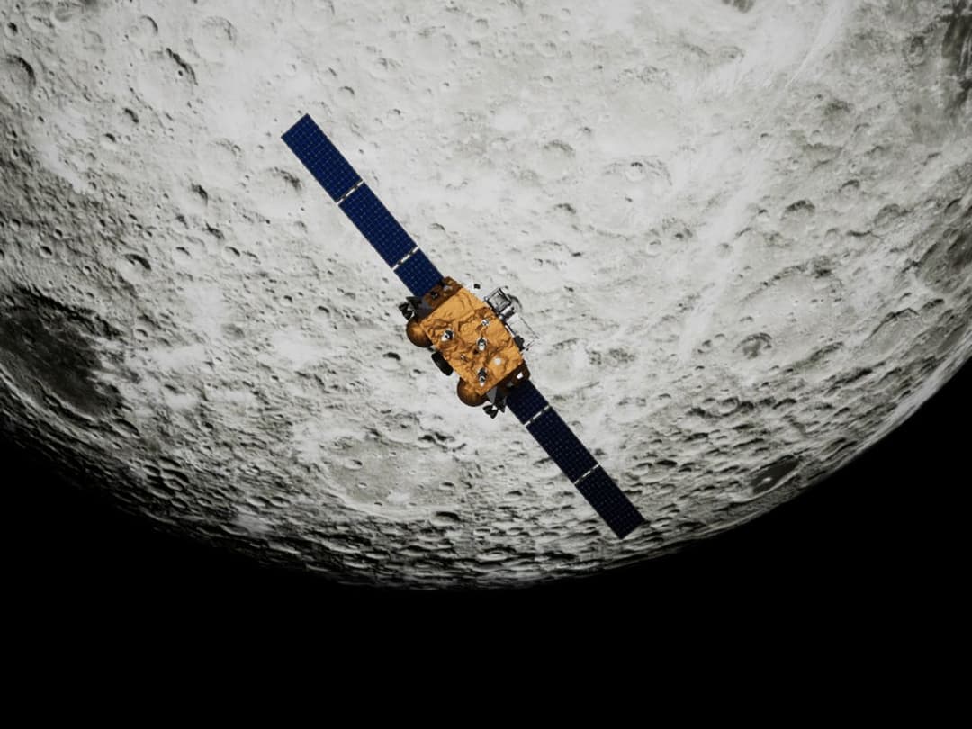
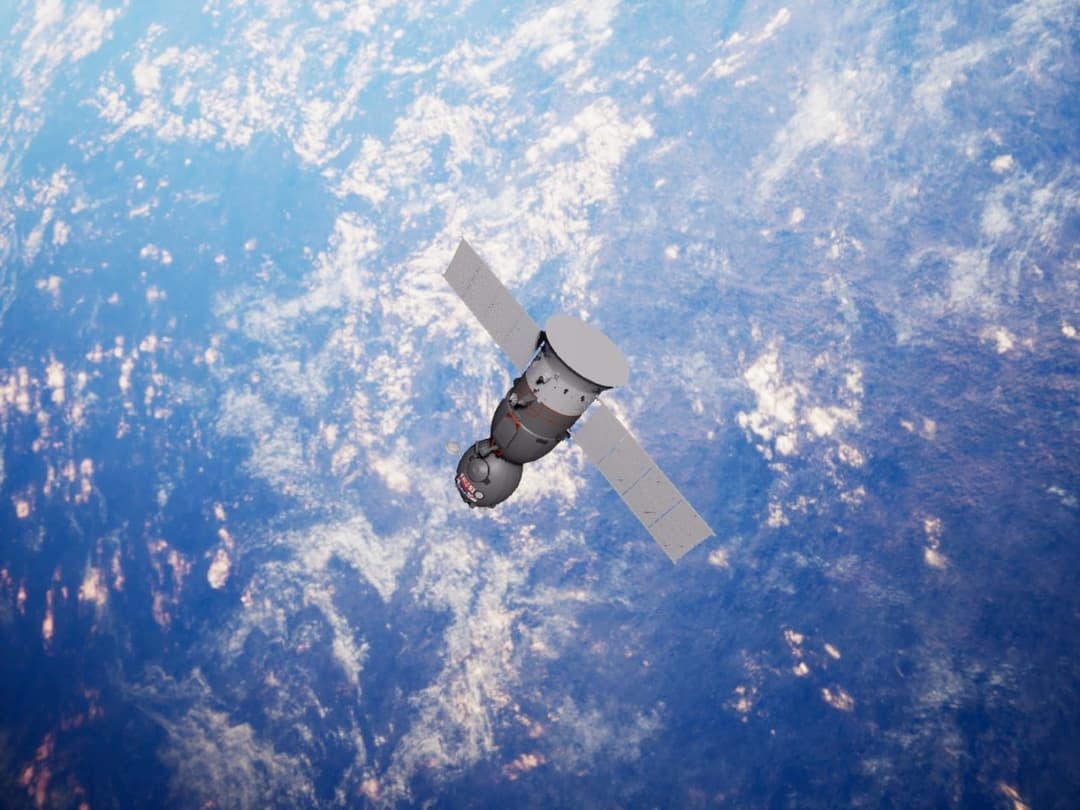
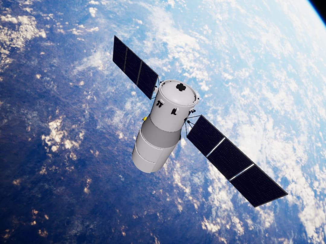
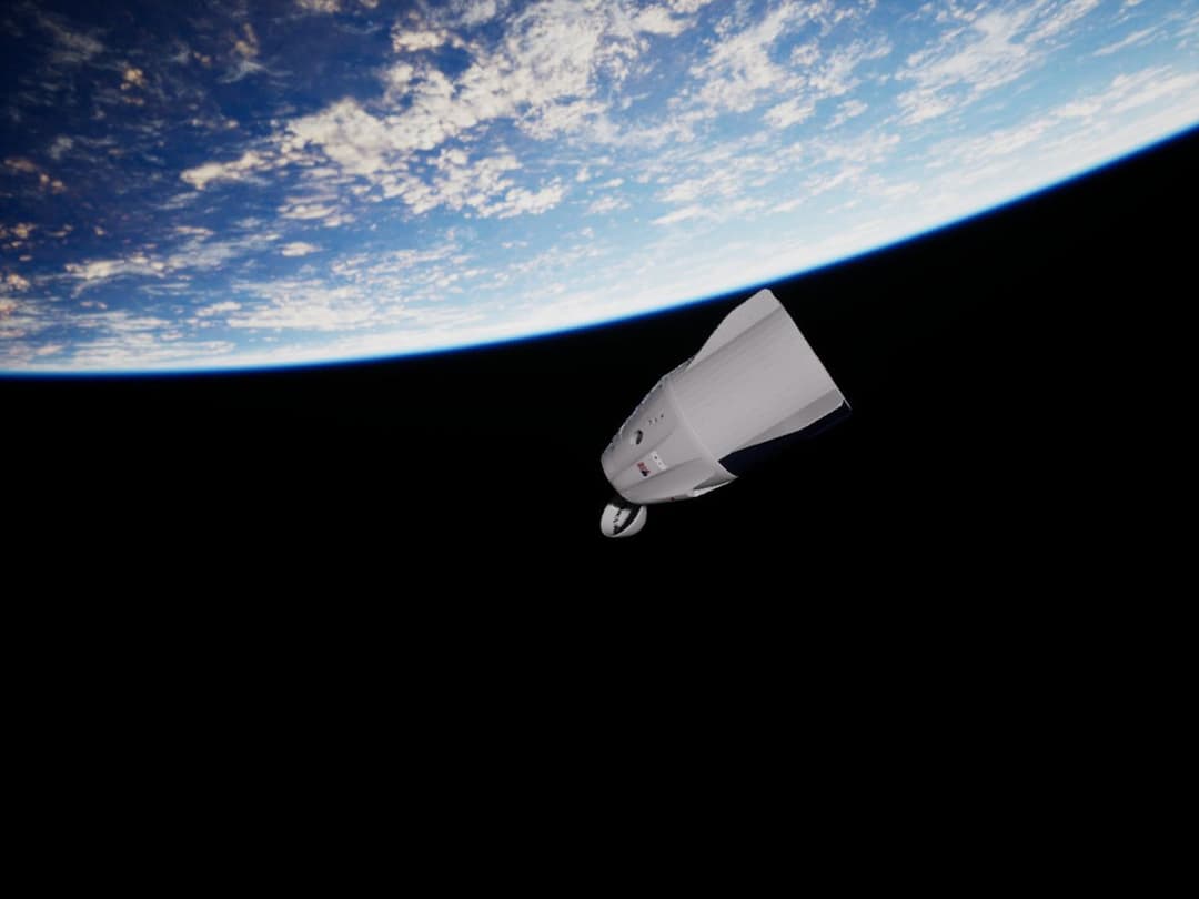
The capture of a target spacecraft by a chaser is an on-orbit docking operation that requires an accurate, reliable, and robust object recognition algorithm. Vision-based guided spacecraft relative motion during close-proximity maneuvers has been consecutively applied using dynamic modeling as a spacecraft on-orbit service system. This research constructs a vision-based pose estimation model that performs image processing via a deep convolutional neural network. The pose estimation model was constructed by repurposing a modified pretrained GoogLeNet model with the available Unreal Engine 4 rendered dataset of the Soyuz spacecraft. In the implementation, the convolutional neural network learns from the data samples to create correlations between the images and the spacecraft’s six degrees-of-freedom parameters. The experiment has compared an exponential-based loss function and a weighted Euclidean-based loss function. Using the weighted Euclidean-based loss function, the implemented pose estimation model achieved moderately high performance with a position accuracy of 92.53 percent and an error of 1.2 m. The in-attitude prediction accuracy can reach 87.93 percent, and the errors in the three Euler angles do not exceed 7.6 degrees. This research can contribute to spacecraft detection and tracking problems. Although the finished vision-based model is specific to the environment of synthetic dataset, the model could be trained further to address actual docking operations in the future.
In one, docking is defined as “when one incoming spacecraft rendezvous with another spacecraft and flies a controlled collision trajectory in such a manner to align and mesh the interface mechanisms”, and defined docking as an on-orbital service to connect two free-flying man-made space objects. The service should be supported by an accurate, reliable, and robust positioning and orientation (pose) estimation system. Therefore, pose estimation is an essential process in an on-orbit spacecraft docking operation. The position estimation can be obtained by the most well-known cooperative measurement, a Global Positioning System (GPS), while the spacecraft attitude can be measured by an installed Inertial Measurement Unit (IMU). However, these methods are not applicable to non-cooperative targets. Many studies and missions have been performed by focusing on mutually cooperative satellites. However, the demand for non-cooperative satellites may increase in the future. Therefore, determining the attitude of non-cooperative spacecrafts is a challenging technological research problem that can improve spacecraft docking operations. One traditional method, which is based on spacecraft control principles, is to estimate the position and attitude of a spacecraft using the equations of motion, which are a function of time. However, the prediction using a spacecraft equation of motion needs support from the sensor fusion to achieve the highest accuracy of the state estimation algorithm. For non-cooperative spacecraft, a vision-based pose estimator is currently developing for space application with a faster and more powerful computational resource.

คณะสถาปัตยกรรม ศิลปะและการออกแบบ
The purpose of this research aims to guidelines the identity design for high-speed rail stations, which are divided into four steps: 1) Survey and analysis of identity at the high-speed train stations, including subway in Japan and Taiwan. 2) Comparison the perception of the environment by the questionnaire at BTS, MRT BL, Airport Rail Link (AERA1), and MRT PPL in Bangkok from passengers 800 passengers. 3) Survey and analysis the perception of identity at the MRT Blue Line by questionnaires 800 passengers at Wat Mangkorn, Sam Yod, Sanam Chai, and Itsaraphap stations. 4) To analysis with the descriptive statistics and one-way ANOVA. Study and survey of the high-speed rail environment from Bangkok to Nong Khai, then synthesize the identity design guidelines by 12 experts with structured interviews to summarize the conceptual framework for identity design for high-speed rail stations. The results shown that the identity of train stations in Japan and Taiwan is designed based on architectural and historical concepts that align with the local environment, society, and lifestyle near the stations. This design approach is evident at stations serving as significant tourist attractions and in the surrounding environment, including external buildings and nearby public transportation connections, as well as entrance and exit doors to the station. In summary, four types of identities have been identified: 1) The Identity Historical and Architectural 2) The Identity of Culture 3) The Identity from Cartoons and 4) The Identity of Art and Design

คณะเทคโนโลยีการเกษตร
Public Park Project: Coastal folk Park is a design park in the area of Ang Sila Subdistrict, Chonburi Province. In an area of 22 acre, it is intended to be a place of rest, recreation, and also a source of learning and conservation of the seashore and the traditional way of life of the area.

คณะวิทยาศาสตร์
This project presents the development of a "Smart Cat House" using Internet of Things (IoT) and image processing technology to facilitate and enhance the safety of cat care for owners. The infrastructure of the smart cat house consists of an ESP8266 board connected to an ESP32 CAM camera for cat monitoring, and an Arduino board that controls various sensors such as a motion sensor in the litter box, a DHT22 temperature and humidity sensor, an ultrasonic water and food level sensor, including a water supply system for cats, an automatic feeding system, and a ventilation system controlled by a DC FAN that adjusts its operation according to the measured temperature to maintain a suitable environment. There is also an IR sensor to detect the cat's entry into the litter box and an automatic sand changing system with a SERVO MOTOR. All systems are connected and controlled through the Blynk application, which can be used on mobile phones, allowing owners to monitor and care for their pets remotely. Cat detection and identification uses image processing technology from the ESP32 CAM camera in conjunction with YOLO (You Only Look Once), a high-performance object detection algorithm, to detect and distinguish between cats and people. Data from various sensors are sent to the Arduino board to control the operation of various devices in the smart cat house, such as turning lights on and off, automatically changing sand, adjusting temperature and humidity, feeding food and water at scheduled times, or ventilation. The use of a connection system via ESP8266 and the Blynk application makes it easy and convenient to control various devices. Owners can monitor and control the operation of the entire system from anywhere with internet access.